Todd & Brad Reed Photography Workshops
Todd and Brad Reed offer Photography Workshops throughout the year. These classes are great for beginners as well as seasoned professionals.
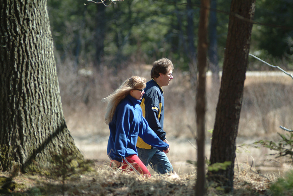
Todd and Brad Reed offer Photography Workshops throughout the year. These classes are great for beginners as well as seasoned professionals.
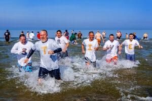
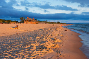
The Ludington Lake Jump takes place in spring at Stearns Park Beach. Participants raise funds for a non-profit and jump in the lake.
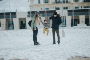
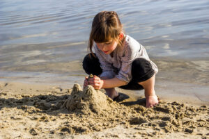
Ludington hosts many events and activities that are geared toward kids and families, that’s part of what makes the area so great!

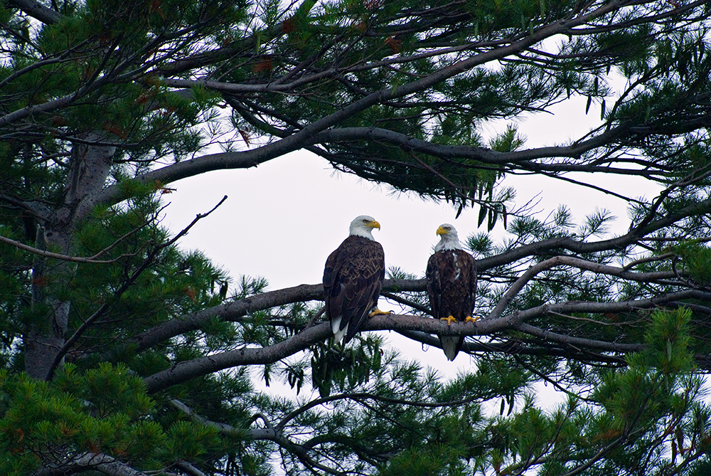
Every year, local organizations offers sales for tree seedlings and for native plants. Take advantage of this great service!

Ludington has many businesses to help you enjoy crafting and appreciate the finished product. Let them help you create your own masterpiece!

Everyone enjoys a good play or concert, and Ludington blessed with talented actors and musicians that entertain us all year ’round.
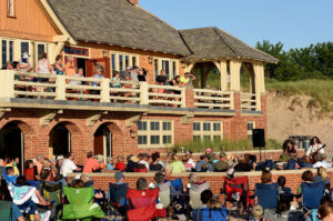
The Ludington State Park holds multiple events for the whole family during the summer months. Don’t miss the live music and presentations!
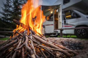
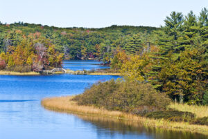
One of the most popular state parks in the Midwest! Ludington State Park has four campgrounds, hundreds of sites for your camping pleasure.
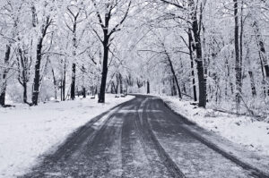
The Ludington State Park offers winter activities. With snowshoeing tours, cross country skiing, and natural beauty, it’s a winter paradise!
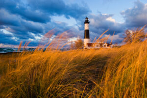
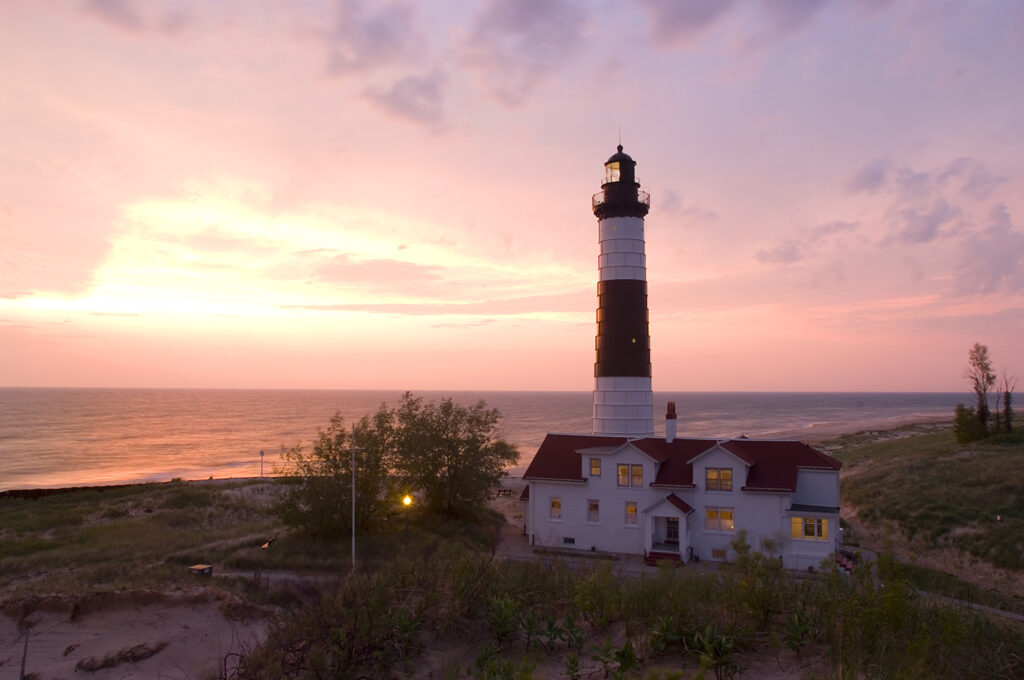
The black-and-white striped, 112 foot lighthouse at the Ludington State Park stands proudly on the shores of Lake Michigan.
The Michigan DNR has announced that Ludington State Park will be closed from September 3rd, 2024-July 1st, 2025 for improvements.
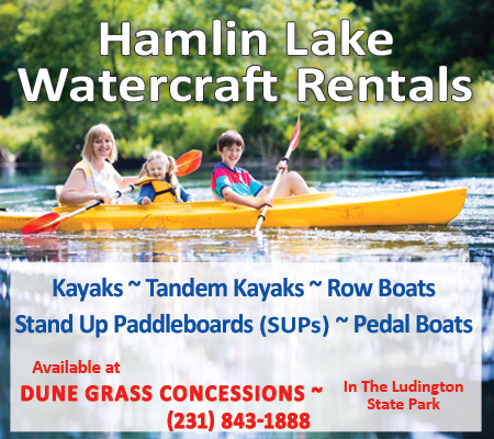
Dune Grass Concessions offers watercraft & bike rentals, concession food, ice cream, convenience items, State Park & Hamlin Lake souvenirs!
The Hamlin Lake Beach within the Ludington State Park is fun for the whole family! With a dedicated, weed-free swimming area and more!
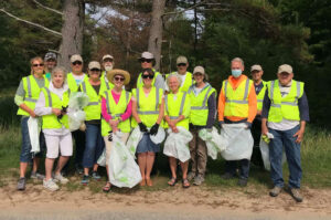
Friends of Ludington State Park is a non-profit organization dedicated to promoting wise use and conservation of the Ludington State Park.
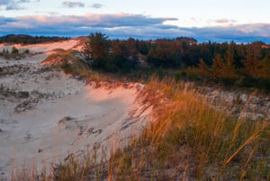
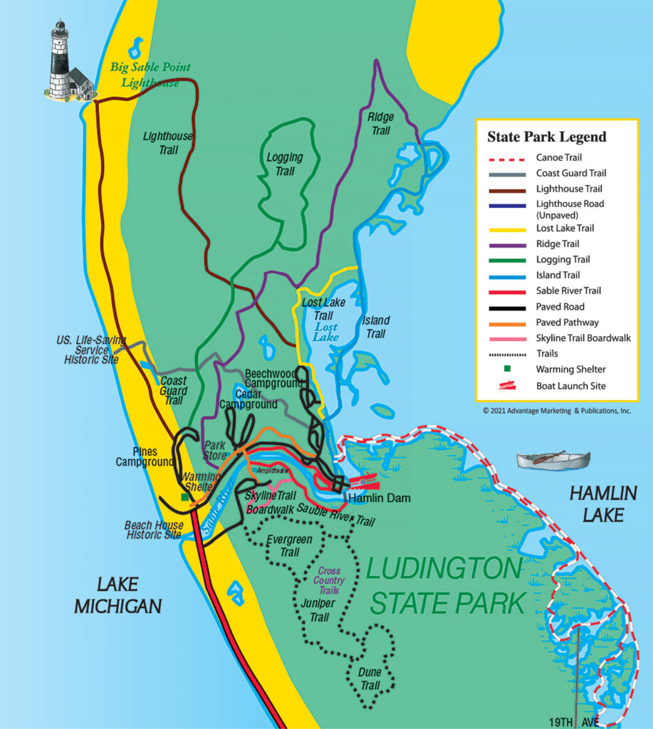
One of the most popular state parks in the Midwest offers a vacation within itself. Enjoy beautiful natural resources and endless activities.
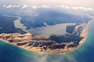
The aerial view of Big Sable Point features Hamlin Lake, Ludington State Park, and Big Sable Point Lighthouse on Lake Michigan.
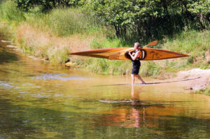
Water fun in the Ludington State Park! Float down the Big Sable River, paddle Hamlin Lake water trails, launch a pleasure boat, or swim!
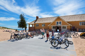
The beautiful Lake Michigan Beach House in the Ludington State Park is a two-story shelter with visitor exhibits, lounging, and concessions.